Clicking moves left
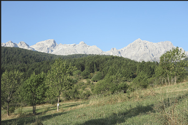
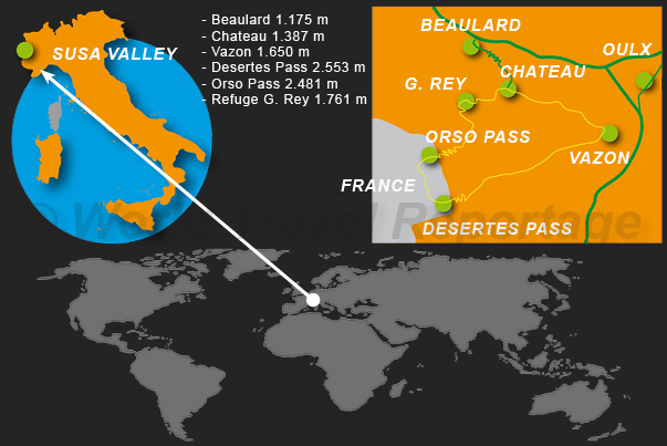
Departure from the meadows of Chateau Beaulard (altitude 1,175 m)
1/39
Clicking moves right

Clicking moves left
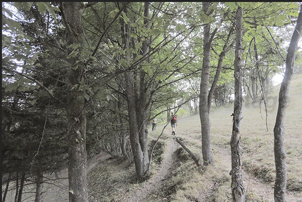
Path towards the Vazon hamlet (altitude 1,650 m)
2/39
Clicking moves right

Clicking moves left
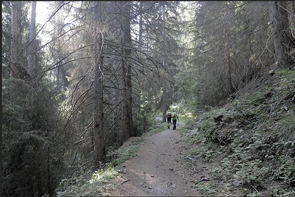
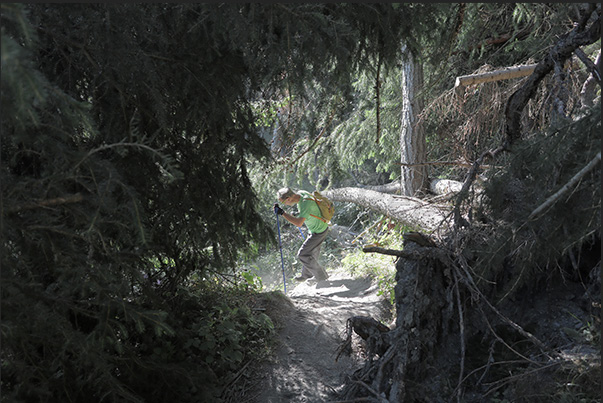
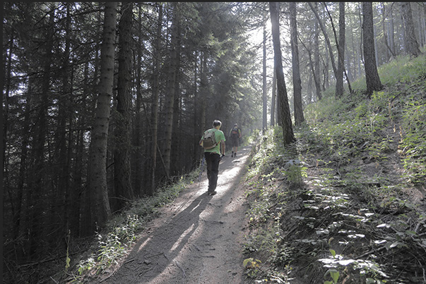
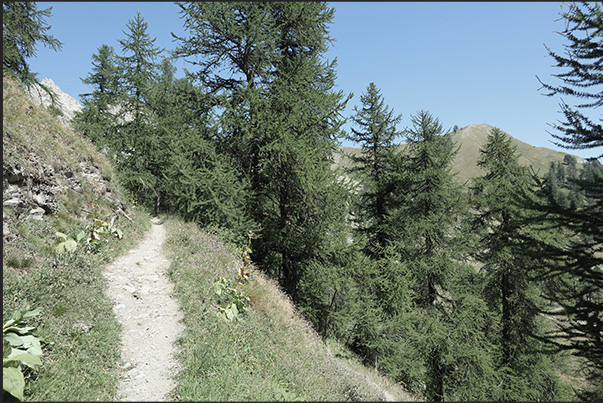
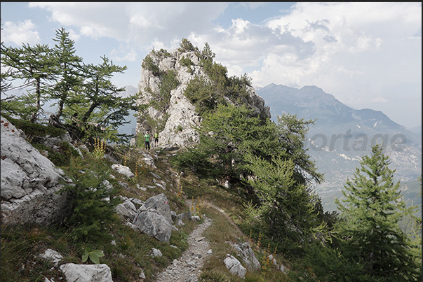
Climb towards the hamlet of Vazon at an altitude of 1,650 m through thick forests of pine, fir and larch trees
3/39
Clicking moves right

Clicking moves left
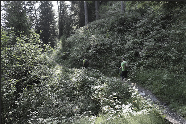
Climb towards the hamlet of Vazon at an altitude of 1,650 m through thick forests of pine, fir and larch trees
4/39
Clicking moves right

Clicking moves left
Climb towards the hamlet of Vazon at an altitude of 1,650 m through thick forests of pine, fir and larch trees
5/39
Clicking moves right

Clicking moves left
Climb towards the hamlet of Vazon at an altitude of 1,650 m through thick forests of pine, fir and larch trees
6/39
Clicking moves right

Clicking moves left
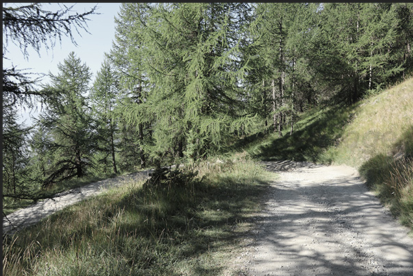
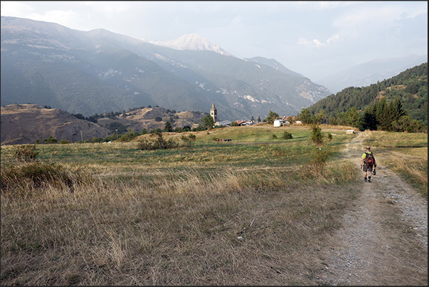
Dirt road from the Vazon hamlet at an altitude of 1,650 m towards the Cotolivier church
7/39
Clicking moves right

Clicking moves left
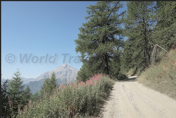
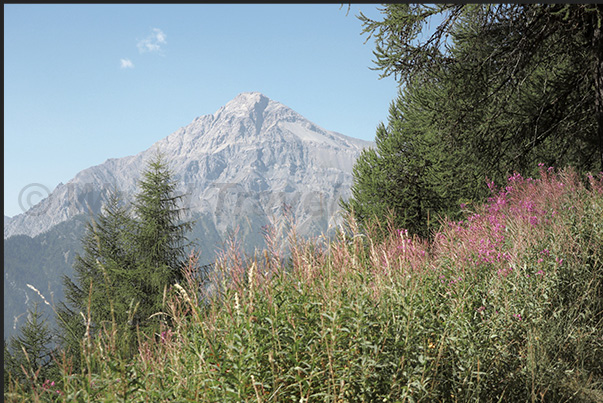
Dirt road from the hamlet of Vazon. On the horizon, Mount Chaberton with the fort destroyed during World War II.
8/39
Clicking moves right

Clicking moves left
Mount Chaberton with the fort destroyed during the Second World War
9/39
Clicking moves right

Clicking moves left
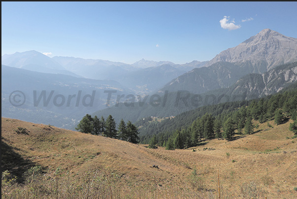
Chaberton mountain on the right and below the valley that leads to the town of Cesana and Monginevro pass
10/39
Clicking moves right

Clicking moves left
At the end of the dirt road begins the path that leads to the Desertes pass
11/39
Clicking moves right

Clicking moves left
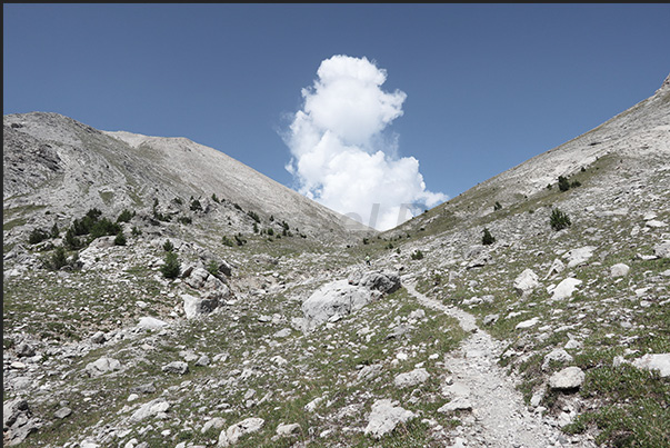
Path leading to the base of the Desertes Pass
12/39
Clicking moves right

Clicking moves left
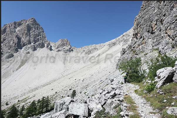
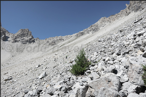
Start of the climb on the large scree that characterizes the Desertes pass
13/39
Clicking moves right

Clicking moves left
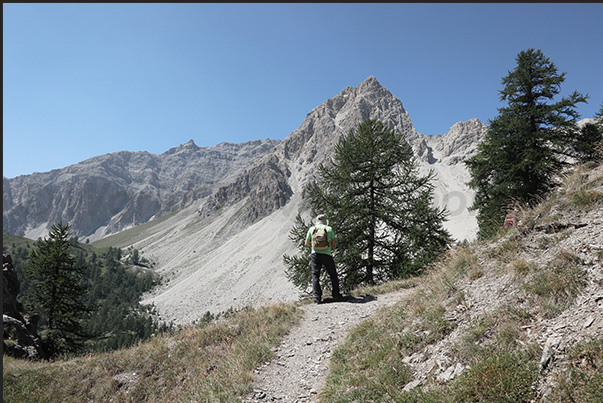
Mount Chaberton seen from the path that climbs towards the Desertes pass
14/39
Clicking moves right

Clicking moves left
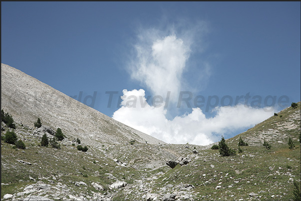
Climbing towards the Desertes Pass
15/39
Clicking moves right

Clicking moves left
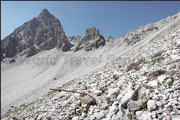
Climbing towards the Desertes Pass. Remains of barbed wire and defenses used in the last war
16/39
Clicking moves right

Clicking moves left
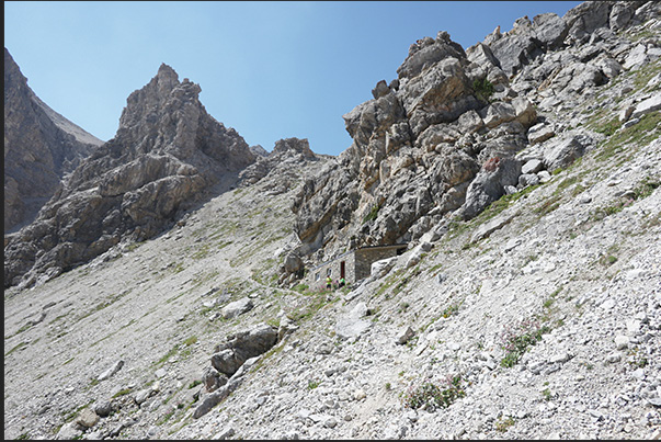
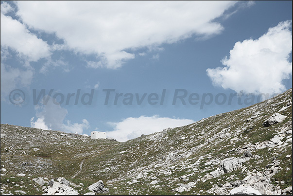
Bivouac just before reaching the Desertes pass (2,553 m)
17/39
Clicking moves right

Clicking moves left
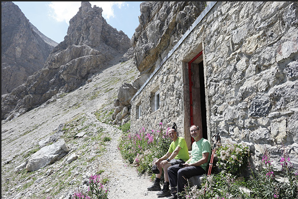
Stop at the bivouac just before reaching the Desertes pass (2,553 m)
18/39
Clicking moves right

Clicking moves left
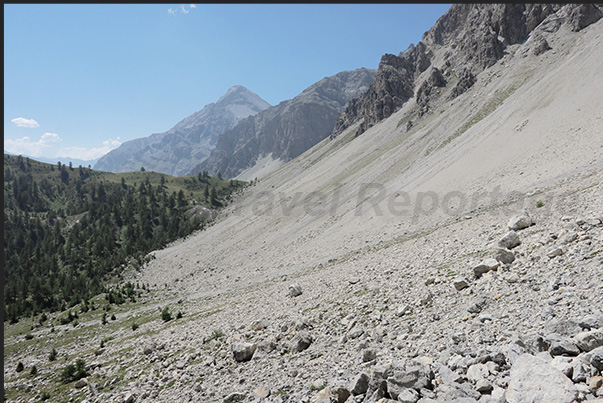
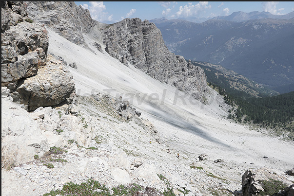
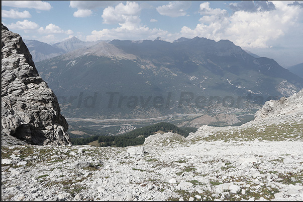
The vast scree slope you cross to reach the Desertes pass (2,553 m)
19/39
Clicking moves right

Clicking moves left
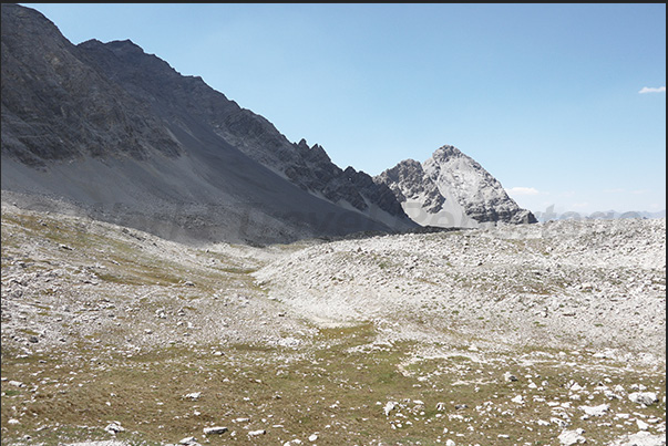
The summit of the Desertes pass (2,553 m)
20/39
Clicking moves right

Clicking moves left
The summit of the Desertes pass (2,553 m)
21/39
Clicking moves right

Clicking moves left
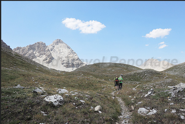
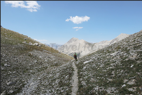
Trail from the Desertes Pass (2,553 m) towards the Orso Pass (2,481 m)
22/39
Clicking moves right

Clicking moves left
Trail from the Desertes Pass (2,553 m) towards the Orso Pass (2,481 m)
23/39
Clicking moves right

Clicking moves left
Trail from the Desertes Pass (2,553 m) towards the Orso Pass (2,481 m)
24/39
Clicking moves right

Clicking moves left
Start of the climb to the Orso Pass (2,481 m)
25/39
Clicking moves right

Clicking moves left
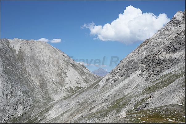
The French valley leading to the hamlet of Les Acles behind the Grand Hoche rock range
26/39
Clicking moves right

Clicking moves left
Climbing towards the Orso Pass
27/39
Clicking moves right

Clicking moves left
The bivouac located on the Orso Pass
28/39
Clicking moves right

Clicking moves left
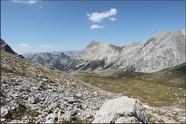
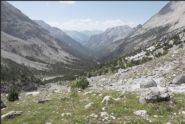
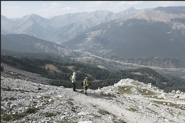
View of the Upper Susa Valley from the Orso Pass
29/39
Clicking moves right

Clicking moves left
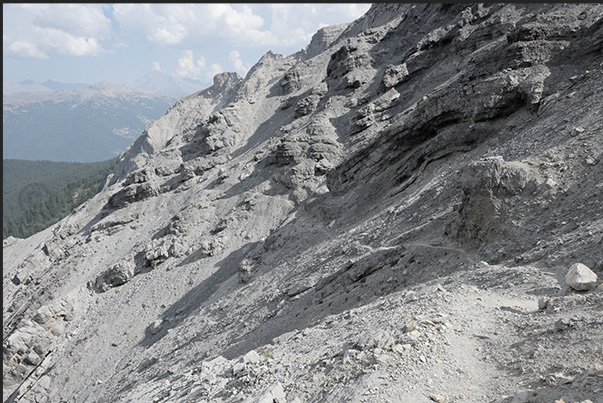
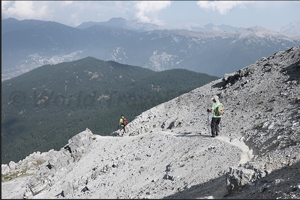
The rugged path that descends from the Orso Pass (2,481 m) towards Chateau-Beaulard (1.387 m)
30/39
Clicking moves right

Clicking moves left
From the Orso Pass (2,481 m) you descend towards Chateau-Beaulard (1,387 m)
31/39
Clicking moves right

Clicking moves left
From the Orso Pass (2,481 m) you descend towards Chateau-Beaulard (1,387 m)
32/39
Clicking moves right

Clicking moves left
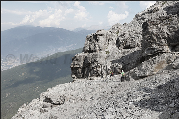
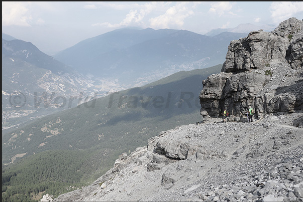
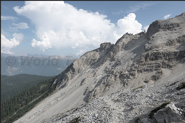
A narrow path between the rocks descends from the Orso Pass (2,481 m) towards Chateau-Beaulard (1,387 m)
33/39
Clicking moves right

Clicking moves left
A narrow path between the rocks descends from the Orso Pass (2,481 m) towards Chateau-Beaulard (1,387 m)
34/39
Clicking moves right

Clicking moves left
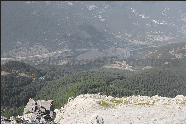
Below is the village of Chateau-Beaulard (1,387 m) and at the bottom of the valley is the highway leading to the Frejus tunnel
35/39
Clicking moves right

Clicking moves left
At the bottom of the valley is the highway that leads to the Frejus tunnel passing through Susa, Oulx and Bardonecchia
36/39
Clicking moves right

Clicking moves left
The trail enters the woods above Chateau-Beaulard
37/39
Clicking moves right

Clicking moves left
In the evening, return to the village of Chateau-Beaulard, completing the circular route
38/39
Clicking moves right

Clicking moves left
The trial path
39/39
Clicking moves right